
| 产品 | 提前预定时间 | 取消政策 | 原价 | 优惠价 | ||
|---|---|---|---|---|---|---|
| 产品 | 提前预定时间 | 取消政策 | 原价 | 优惠价 | ||
|---|---|---|---|---|---|---|
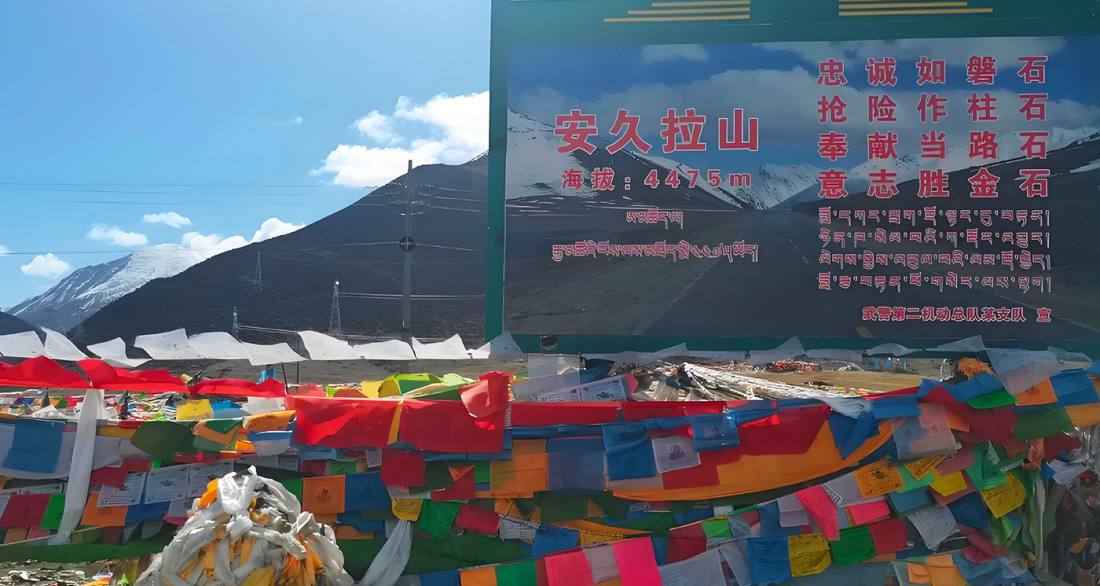
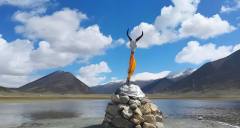
安久拉山口是318國道上的免費自然觀景點,無需購票或預約,但需注意行車安全並遵守交規,由於山口海拔高(約4468米),天氣多變且冬季易有冰雪,前往前請務必檢查車況、備好防滑鏈,並關注即時路況與天氣預報,同時做好高原反應的預防措施,避免劇烈運動,並請自覺帶走垃圾,保護自然環境。
The Angla Mountain Pass is a free natural viewing spot on National Highway 318, requiring no ticket purchase or reservation. However, visitors should prioritize road safety and comply with traffic regulations. Due to the high altitude (approximately 4,468 meters), rapidly changing weather, and potential ice and snow in winter, it is essential to check vehicle conditions, carry snow chains, and monitor real-time road and weather reports before traveling. Additionally, take precautions against altitude sickness, avoid strenuous activity, and ensure all trash is taken away to help preserve the natural environment.
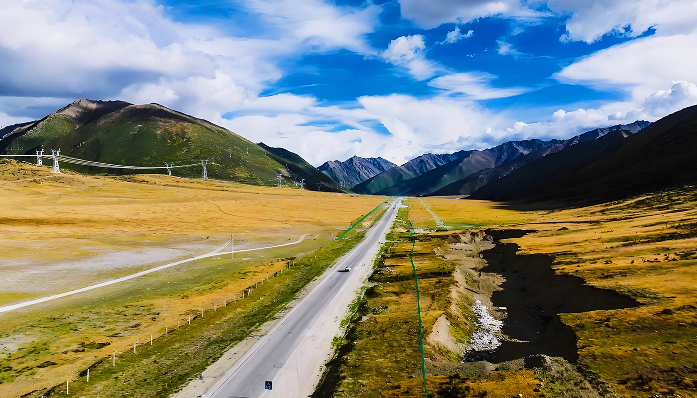
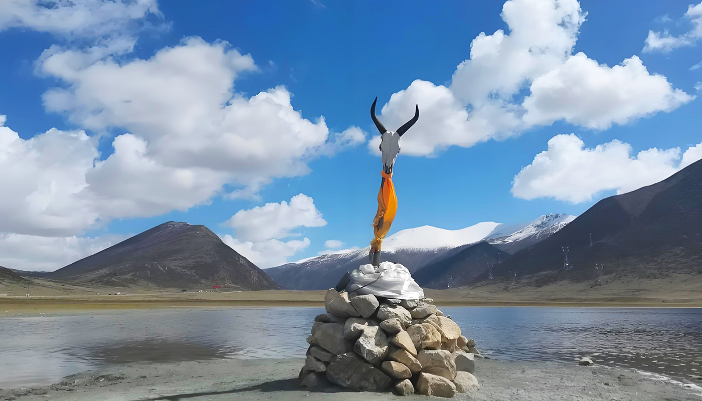
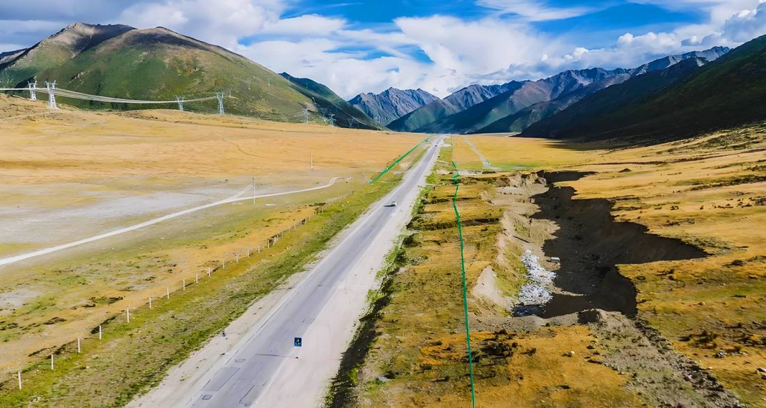
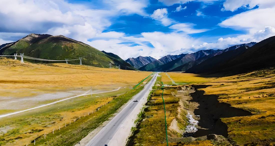
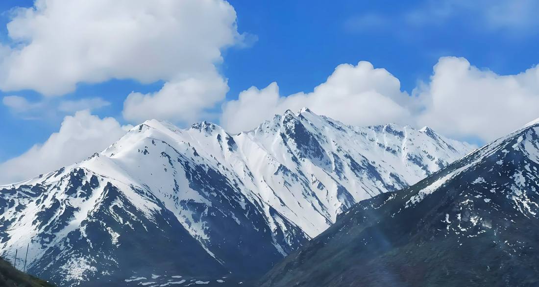
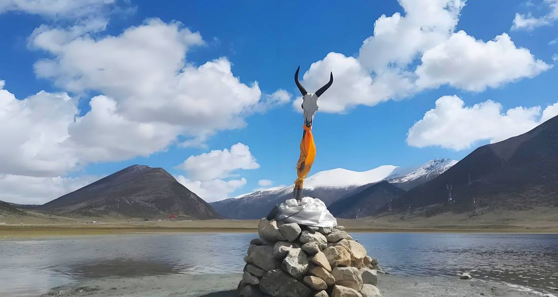
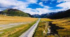
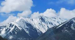
安久拉山口位於西藏昌都市八宿縣,是318國道(川藏公路)上重要的地理與景觀節點。山口海拔約4468米,以罕見平緩的埡口地貌為特點,周邊環繞著高山草甸、濕地與星羅棋布的海子。作為怒江與雅魯藏布江的分水嶺,它不僅是一處重要的自然地標,也是川藏線自駕、騎行者的經典打卡地。站在山口可遠眺雪山與開闊草甸,感受藏東南蒼茫與秀美並存的獨特景致。
Located in Baxoi County, Chamdo, Tibet, the Angla Mountain Pass is a key geographical and scenic landmark on National Highway 318 (the Sichuan-Tibet Highway). At an elevation of approximately 4,468 meters, the pass is distinguished by its unusually gentle saddle terrain, surrounded by alpine grasslands, wetlands, and scattered lakes. Serving as the watershed between the Nujiang River and the Yarlung Zangbo River, it is not only a significant natural landmark but also a classic stop for road-trippers and cyclists along the Sichuan-Tibet route. From the pass, visitors can enjoy panoramic views of snow-capped mountains and vast meadows, experiencing the unique blend of vastness and beauty characteristic of southeastern Tibet.